The Department of Agriculture persistently promotes and implements programs that bring out better preventive measures and solutions for African Swine Fever (ASF) disease. Preventing further spread of ASF from the initially affected areas seems to be the key strategy to manage the economic damage caused by the ASF.
In support of this, the Agricultural Training Institute in MiMaRoPa conducted the second batch of Training on Quantum Geographic Information System (QGIS) in the province of Marinduque on May 18-19, 2022.
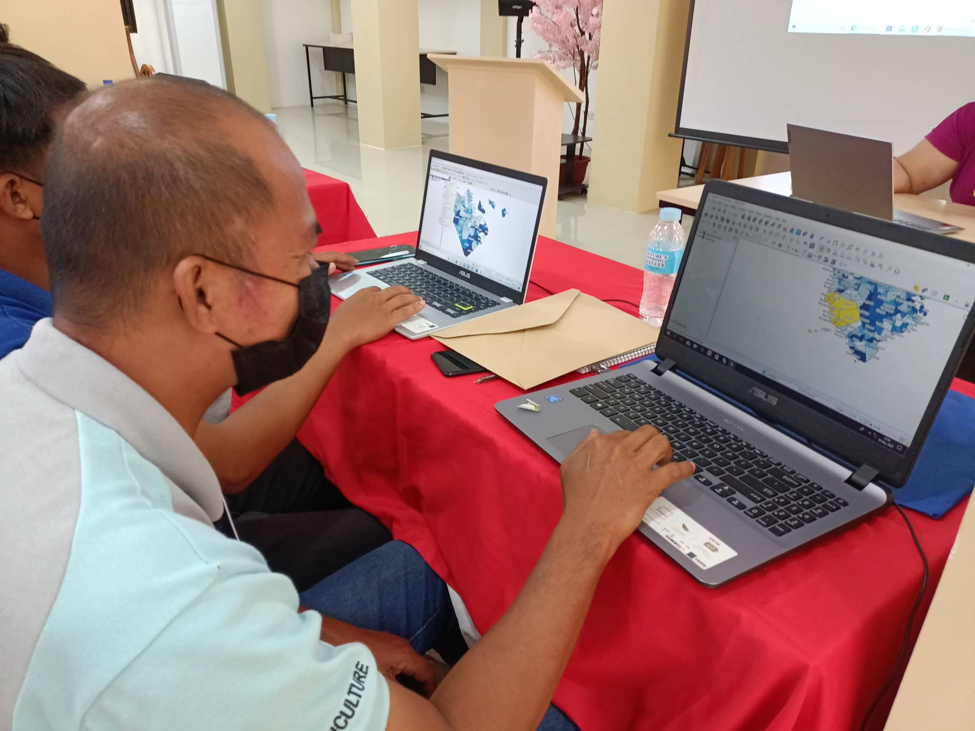
The training aims to generate an ASF geographic color-coded map that will serve as a tool for immediate surveillance and monitoring of areas infected with ASF disease as well as non-infected areas.
Ms. Marites C. Gealone from the Bureau of Animal Industry (BAI) served as the Resource Speaker of the training. The topics included were Introduction to Quantum Geographic Information System, Crafting and Exploring a Basic Map, Laying-out the Zoning Map, and Density Map.
The participants learned the step-by-step installation and exploration of the free and open-source software application. “We have plenty of data which we can explore and how are we going to progress will depend on the phasing we have in every step and how we enjoy doing it,” Ms. Gealone shared.
At the end of the training, all participants have illustrated geographic ASF Zoning map of their respective local government units.
A total of 20 Agricultural Extension Workers attended the said training held at Hotel Marinduque, Brgy. Isok I, Boac, Marinduque.