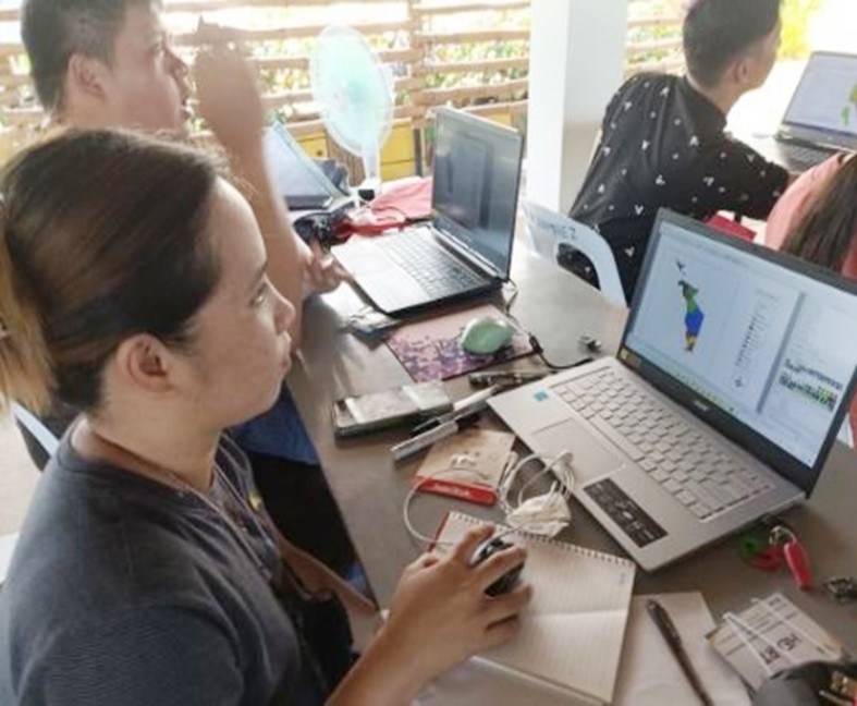
Participants during hands-on activity of QGIS
As part of the initiatives of the Department of Agriculture to prevent African Swine Fever (ASF) at the barangay level, it has strengthened the implementation of Bantay ASF sa Barangay Program (BABay ASF) through disease surveillance and monitoring, disease reporting, disease investigation, disease response, the implementation of biosecurity protocols, zoning, recovery and repopulation.
One of the tools used by the DA is the Quantum Geographic Information System (QGIS) for the monitoring and surveillance of ASF in the country.
QGIS is an open-source application that supports most geospatial vector and raster file types and database formats. It allows users to analyze, view and edit spatial information in composing and exporting graphical maps.
In support to this, the Agricultural Training Institute-Regional Training Center MIMAROPA conducted Training on QGIS for Agricultural Extension Workers (AEWs) at Lola's Healthy Farm, Brgy. Poblacion, Magsaysay, Occidental Mindoro on June 8 – 9, 2022.
The training aims to capacitate the AEWs in the implementation of BABay ASF with additional knowledge on QGIS and appropriate skills on encoding data as well as preparing a zoning map of ASF monitoring, surveillance and reporting system.
As an extensionist, participants learned that GIS application is an essential tool in their field of work. They learned the basic map lay-outing, map zoning, density maps as well as the plotting of buffering points in case there’s an out-break of any diseases or ASF in their respective localities. They also learned that a GIS app could show many kinds of data on one map for easy representation.
Moreover, during hands-on activity, participants were able to prepare a map of their municipality for easy monitoring and surveillance especially in times of outbreak and calamities.
“Sa totoo lang ay hindi na first time sa akin itong QGIS kasi na-encounter ko ito noong college ako pero iba't-ibang version naman yun sa swine mapping. Itong training na ito ay malaki ang naging impact sa akin kasi itong application na ito ay hindi lang sa livestock magagamit kundi sa iba ding mga banner program like corn, rice, etc. Medyo nakakalito pero kaya naman, kasi alam namin na darating ang panahon na marami tayong ma-eencounter na ganitong training ng QGIS kasi habang tumatagal mas nagiging technical yung mga gawain natin na hindi na siya puro sa papel na lang kundi nakaprogram na,” Jona Rose R. Ferrer, Agricultural Technician from Calintaan, Occidental Mindoro said.
In addition, Allen James C. Carzon, Agricultural Technologist from San Jose, Occidental Mindoro highlighted the importance of QGIS for AEWs and their fields of work. “Sa panahon ngayon, talagang importante na yung mapping kasi lahat naman tayong mga AEWs ay nag-gegeotagging na. Kailangang-kailangan natin ito kasi nalaman natin kung paano ipa-plot ang mga data hindi lang yung nag-gegeotagging tayo. Sana ay ma-i-apply natin lahat ng mga natutunan natin dito at mas makakatulong ito sa atin kasi ngayon ay may magagamit na tayo para ma-iplot natin lahat ng geo reference sites. Marami akong natutunan dito sa QGIS like sa map composer na kung saan makakagawa ka ng report na pwede mong maexport into image.”
At the end of the training, the participants prepared their livestock density map intended for their respective municipalities.