The Bantay African Swine Fever (ASF) sa Barangay Program has been launched by the Department of Agriculture towards preparing and training Agricultural Extension Worker (AEWs) on ASF disease monitoring, surveillance, and improving further its biosecurity practices.
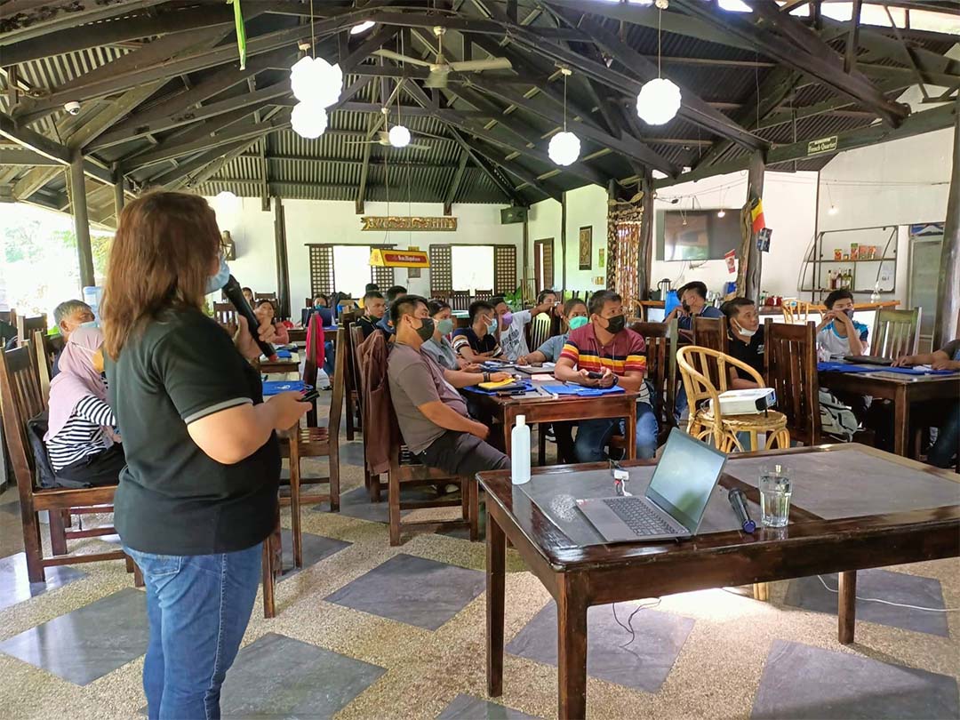
In support of this program, the Agricultural Training Institute in MiMaRoPa in partnership with the Provincial Veterinarian Office in Palawan conducted the first batch of Training on Quantum Geographic Information System (QGIS) on May 11-12, 2022 at Balay Tuko Garden Inn, San Manuel, Puerto Princesa City, Palawan.
The training aims to capacitate the participants with additional knowledge and relevant skills on QGIS. It focuses on data encoding and preparation of a zoning map for ASF monitoring, surveillance, and reporting system. The Quantum Geographic Information System (QGIS) is an essential open-source software and tool that allows users for analyzing, viewing, and editing spatial information in composing and exporting graphical maps.
Ms. Marites C. Gealone from the Bureau of Animal Industry served as the Resource Speaker of the training. On the first day, she explained the introduction of QGIS, how it works, the types of data to be used, and other features of QGIS. Also, the laying-out map and density map were discussed and demonstrated on the second day.
On the third day, the participants prepared their own ASF Zoning Map for their respective municipality or city.
A total of 22 Agricultural Extension Workers attended the said training.